iGPSPORT BiNavi Bike Computer Touchscreen Map Navigation 35 Hours Battery Life IPX7 Waterproof Route Planning
iGPSPORT BiNavi Bike Computer Touchscreen Map Navigation 35 Hours Battery Life IPX7 Waterproof Route Planning
Couldn't load pickup availability
Secure checkout
🚚 Shipping Policy
🚚 Shipping Policy
Free U.S. shipping on orders over $50.
We offer quick and dependable shipping. Orders arrive within 7–12 business days, complete with tracking updates.
↩️ Money back Guarantee
↩️ Money back Guarantee
Shop with confidence — enjoy easy, hassle-free returns within 30 days. Your satisfaction is our priority.
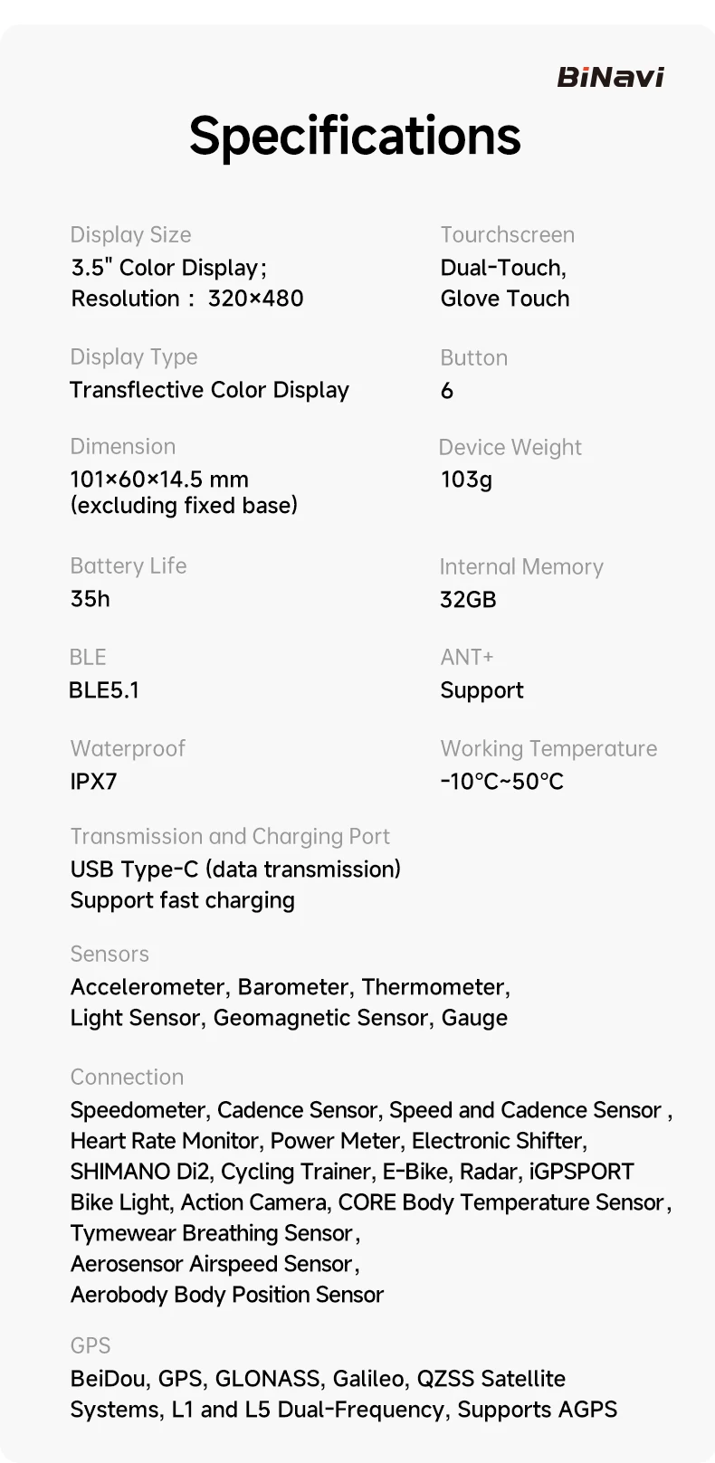
SPECIFICATIONS
Automatic sleep: Y
Battery Type: Lithium ion
Brand Name: iGPSPORT
Certification: CE,FCC,RoHS
High-concerned chemical: none
Language: English
Navigation: Y
Origin: Mainland China
Waterproof Level: IPX7
auto-pause: Y
iGPSPORT Bicycle GPS Computer BiNavi Touchscreen Map Navigation 35 Hours Battery Life IPX7 Waterproof Route Planning
Features:
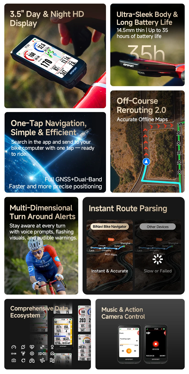
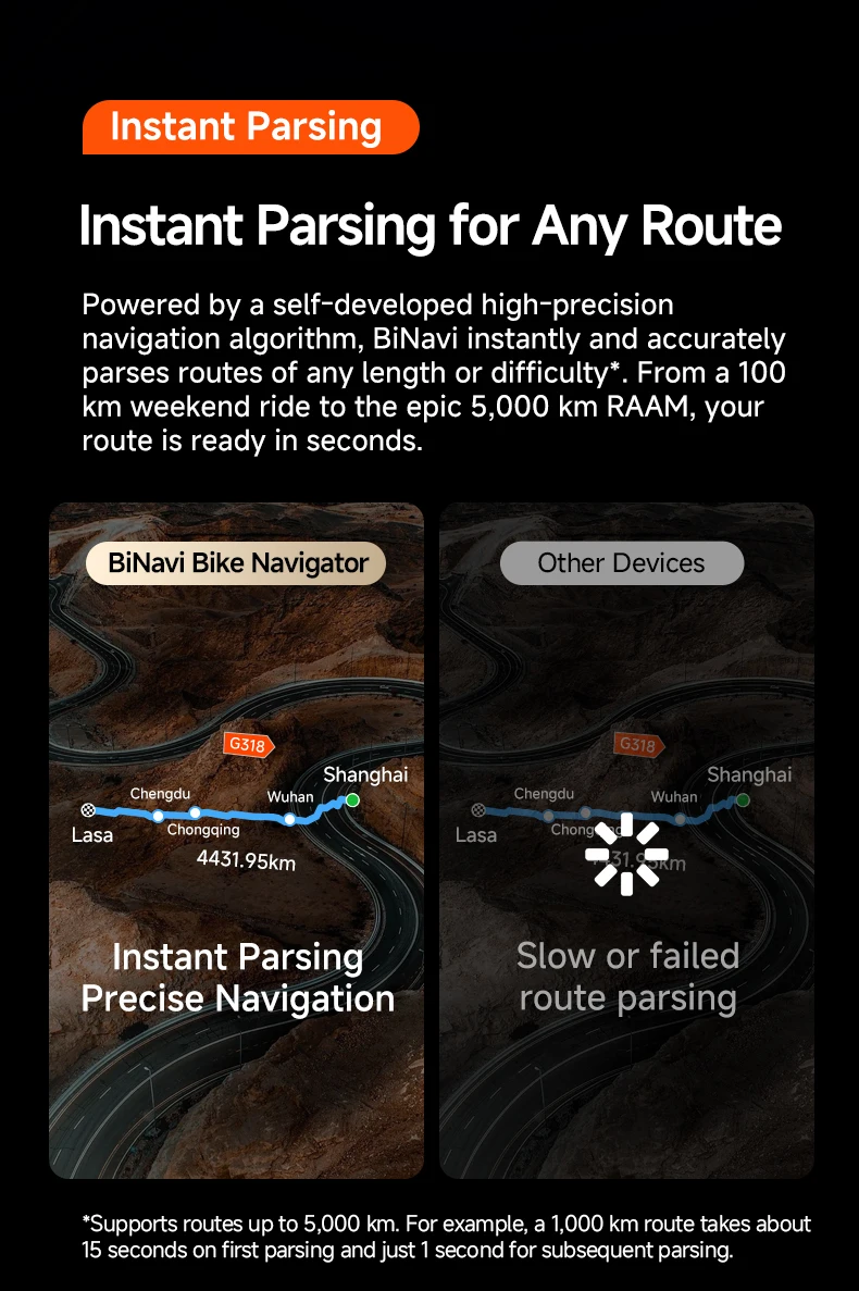
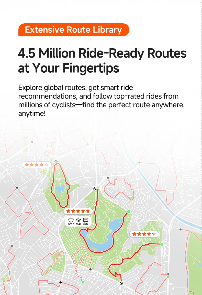
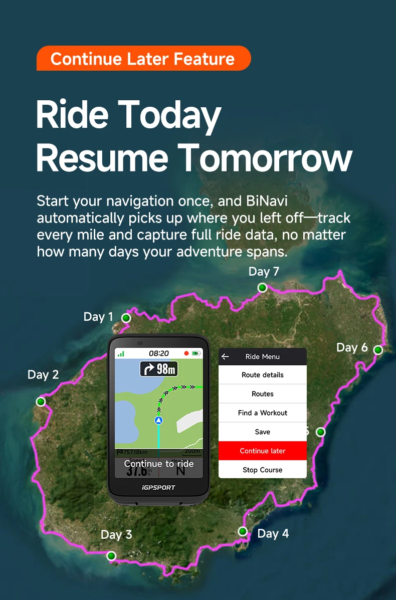
【Quick analysis of complex road books】-Whether it's a 100-km weekend adventure or the epic 5,000-km RAAM. our cutting-edge algorithm processes your route in seconds.
【All-Terrain Sensing and Turn Prediction to Reduce Blind Spots】-Powered by our self-developed dynamic and highly precise heading monitoring technology, this system excels in detecting curves, whether on winding mountain roads or forest trails. It enables early risk prediction, allowing for speed adjustments to ensure safe and smooth cornering.
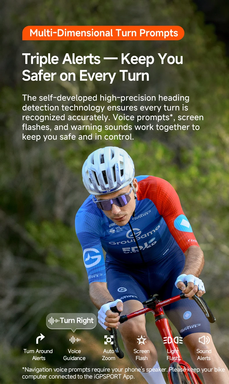
【Multi-Dimensional Turn Prompts】-The map automatically zooms in when approaching a turn, providing progressive pop-up alerts. The screen flashes continuously, accompanied by warning sounds and voice announcements for key turning points, ensuring you navigate curves safely and effortlessly.
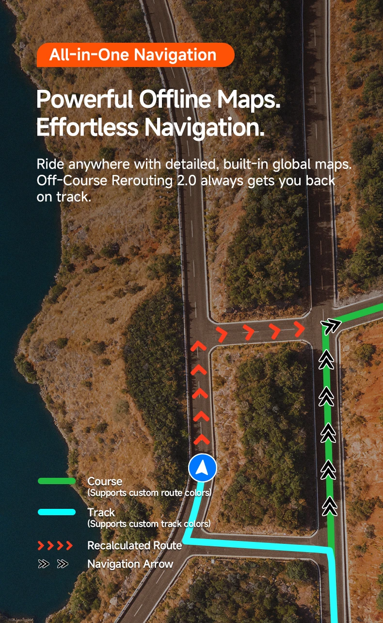
【Off-Course Rerouting 2.0】-With a multi-color route display and a persistent riding track the upgraded off-route navigation algorithm automatically generates optimized rerouting paths, helping you quickly return to your planned route.
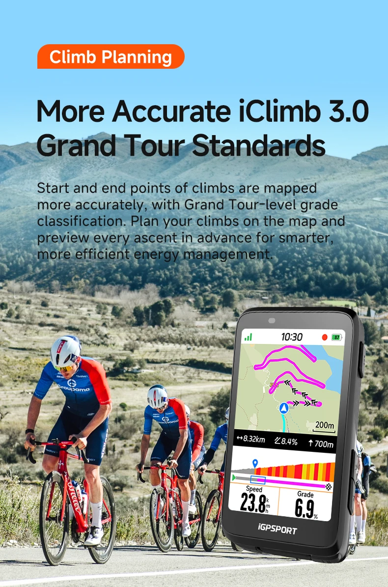
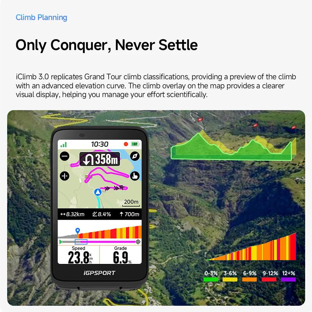
【iClimb 3.0】-It replicates Grand Tour climb classifications, providing a preview of the climb with an advanced elevation curve. The climb overlay on the map provides a clearer visual display, helping you manage your effort scientifically.